 Day 106-107 Day 106-107
 Kekabeka Falls
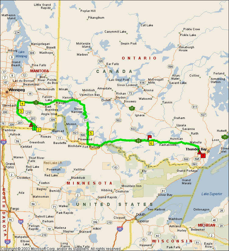
Musqua Meadows to Thunder Bay, Ontario
Departed Musqua Meadows, in route to Holiday Village Campground just east of Fort Frances, Ontario.
ROAD REPORT: This leg will require that I retrace my path (which I try not to do) back up MB-12 to TC-1, then across TC-1 to the Manitoba/Ontario border where TC-1 becomes TC-17. It was that or drop down back across the border into Minnesota and take SR-11 over to International Falls and re-cross into Canada at Fort Frances. The problem being that the Lake of the Woods is between where I am and where I want to go, so I have to either go north or south around it. I opted for the Canadian route because it’s more scenic and trying to get through 2 border crossings in one day is just too much. TC-1 was just about the same as every where else, stretches of good highway intermixed with bad pavement. After crossing into Ontario the road improved considerably for the first couple of hours then when to hell again.
A little east of Kenora ON. I branched off onto ON-71. It was mostly 2 lanes with fairly frequent passing lanes on the uphill grades. Have I mentioned that Ontario is heavily treed and hilly? Of course this area is full of lakes also. At about 3 PM I passed through Fort Frances and onto TC-11. I never saw Holiday Village and there weren’t any places for me to turn the RV around so I just kept going. TC-11 was about the same as ON-71, stretches of good interspersed with bad. The max speed limit in Ontario is 90 km/h and that’s about all you want to do on the bad stretches. At about 5:30 I saw an RV park sign pointing towards Atikokan, about 2 km north of TC-11 so I headed there for an overnight. It turned out to be an RV park associated with a golf course; I believe the name was Brummel. Not much to say about it as I wasn’t there long enough to look around except for the fact that the mosquitos and biting flies are still pretty vicious.
The next morning it was back to TC-11 and heading east again. My next stop is Happy Land Campground, only about 2 hours down the road. It’s about 20 km outside of Thunder Bay and has WiFi. I intended to stop at Tylara Hill Naturist Resort, which is close by, but figured, with the weather being so crappy, I’d stop where I could get on the internet. I plan on being here for about 4 day so I can also get a mail delivery.
RV PARK REPORT: Happy Land RV Park and Campground, Kakabeka Falls, On.
www.happylandpark.com Good Sam park.
Well, the WiFi turned out to be available only at a couple of benches outside of the park office. I was able to talk them into replacing one of the park benches with a picnic table so we had a place to put our laptops other than our laps. I also talked them into running an extension cord out there as my laptop battery has reached the end of its life. I’ll have to order another one. I also ended up staying for a week while I waited for my mail and packages to catch up with me. The campground is nice with full hookups on grass sites lined with trees. I got one without trees on the south side so I could use my dish.
I visited Mount McKay, (original name “ Thunder Mountain”)which is a flat top mountain on the Fort Williams First Nation Reserve. The 1000 ft mountain is “stepped” at the 500 ft level, something like a wedding cake (see photos) and you can drive up to the first level where there is a small park overlooking the city. This is also a good viewing area for an island off the coast called the Sleeping Giant. As the photos show, the island actually looks line one of those Easter Island statues lying down. There is a trail to get to the actual top of the mountain but I didn’t have my hiking stuff with me. I planned on coming back for the hike but never made it.
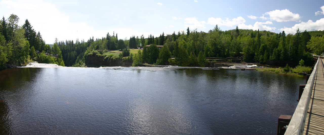
Just up the road from the RV park about 2 km is the Kakabeka waterfall and park which is very nice (see photos). The associated town of the same name was having its annual street fair while I was there. It’s like a 3 block yard sale with music, food, and a few carnival rides. On Saturday night I thought one of the RV park patrons was having a very loud party with a live band. It finally broke up about midnight. Come to find out the band was part of the celebrations in the village and the sound was carrying 2 km. I can’t imagine how loud it must have been if you were right there!!
The actual city of Thunder Bay is one of those places that doesn’t have a city center, there is about 4 different business and shopping communities in close proximity. The tallest building is about 10 stories as far as I could tell. They have designated 3 roads passing through the city, parallel to each other and the harbor, as “Tourist Routes” and given each a catchy name. It looks nice on a map and leads you to think there is going to be interesting stuff on the routes but that’s all hype. The Friendship Route is the farthest from the water and is basically just an urban avenue (Balmoral) with the International Friendship Gardens as one of the attractions. The only other two on this route was the Delaney Arena (Hocky/Curling, I think) and the Royal Canadian Legion Track, which has an RV dump station. I never found out what kind of track it is.
The Memorial Route is 2 lane streets nearer to the water and goes through some sections of different business centers and some residential areas. It boasts the NWO Sports Hall of Fame and the Thunder Bay Military Museum.
The 3rd one, the Bayview Route, is the closest to the harbor and the scenery switches from strip malls to residential to harbor industry to shopping malls. It has the Railway Heritage Building, the Thunder Bay Children’s Museum, and Marina Park.
Like I said, very helter-skelter, with no sign of city planning.
WEATHER REPORT: The usual, nice days followed by rainy days; temperatures in the mid 20’s and sometimes very windy.
Next stop Jewel Lake Wilderness Park in North Bay On. with an overnight at Wawa, On. (I’m not making up these names, really!) on the way.